“Scythia is a quadrangle, two sides of which reach the sea, and the line running inland is the same length as the one that stretches along the sea. Thus, from the Ister [Danube River]to the Borysthenes [Dnieper River] is a ten-day journey, and the same from Borysthenes to the Meotis [Azov Sea]. On the other side, from the sea inland to the Melanchlaeni, who live above the Scythians, is a 20-day journey. I estimate a day’s journey at 200 stadia. Thus, Scythia has the cross-measurement of 4,000 stadia. Those straight sides that run inland are of the same length. Such is the size of this country” (Herodotus, Histories, Book 4, § 101).
Whoever came up with the idea of the Scythian square, Herodotus supplemented it with his own calculations: “Starting from the Ister, I will describe for the purpose of measurement the coastal part of the Scythian land proper” (§99). The result is a valuable source, providing not only a general understanding of Scythia, but also specific quantities and a precise definition of such a unit of length as the “day’s journey.”
There have been several attempts to envision the Scythian square…
[But] In analyzing all of Herodotus’ data, very little attention was paid to the distances he indicated in days’ journey or days’ sailing. They were used selectively and arbitrarily. Meanwhile, with regard to Scythia and the surrounding peoples alone, Herodotus seven times indicates the exact distance in days’ journey and five times in days’ sailing… We must imagine these distances and remember them in the proper place.
The variety of ancient measures of length also presents some difficulties: the Delphic stade, the Attic stade, the Olympic stade, etc. The most likely is considered to be Herodotus’ use of the Attic stade of 177.6 m.
A day’s journey of 20 stades would be equal to 35.5 km, which is quite consistent with the average length of a typical day’s horse journey.
Let’s try to verify Herodotus’s definition of the southern, coastal side of the Scythian square. It should be a ten-day journey from the Danube to the Dnieper. If we draw a line along the coast, not right at the edge, but 30-40 km from the sea (to avoid crossing numerous estuaries), then we get 350 km, i.e., a complete match with Herodotus’s data: the distance from the Ister to the Borysthenes is covered in 10 days at 35 km per day.
The situation is more complicated with the second, eastern half of the coastal line. If you take the shortest route from the mouth of the Dnieper to the nearest point on the Sea of Azov, the journey takes only five days; it leads to a deserted, once marshy coastline in the area of modern-day Genichesk.
If you travel from the mouth of the Dnieper through Perekop and further along the steppe part of Crimea to the Kerch Strait, then after exactly 10 days’ journey, you will reach the Cimmerian Bosporus and the port of Porfmium (“Crossing”) onthe very edge of Meotis, where “the Tanais River, flowing into Lake Meotia, and the Cimmerian city of Porfmium form the border between Europe and Asia” (§ 45)
It was here, on the shores of the Bosporus [Kerch Strait], that the Scythian settlements, and Scythia itself, ended. Naturally, Herodotus defined not the winding coastline of the Crimea, but the extreme Scythian border on the shore of the Pontus at the entrance to the Meotian Sea, and defined it, like the western half of the Scythian square, along the land route.
Having correctly determined (obviously well-traveled by local Greeks) the distance in both directions from the mouth of the Borysthenes to the Danube and the Kerch Strait, Herodotus failed to notice that this entire twenty-day journey was a winding curve. He conventionally took it for a straight line, the southern side of the Scythian tetragon.
The Scythian quadrangle’s inland extent must have been considerable. 4,000 stadia is 710 km. Of course, the routes, especially in the northern forested areas, could not have been straight but approximately, the northern border of Scythia, as Herodotus imagined, ran along 53° north latitude, i.e., along the Pripyat, through Chernihiv to Kursk and further to Voronezh…” (Academician B. Rybakov, Scythia of Herodotus)
[but] beyond the Tanais River there is no longer Scythia; but the first landholdings there belong to the Sauromatians” (§ 21)…”
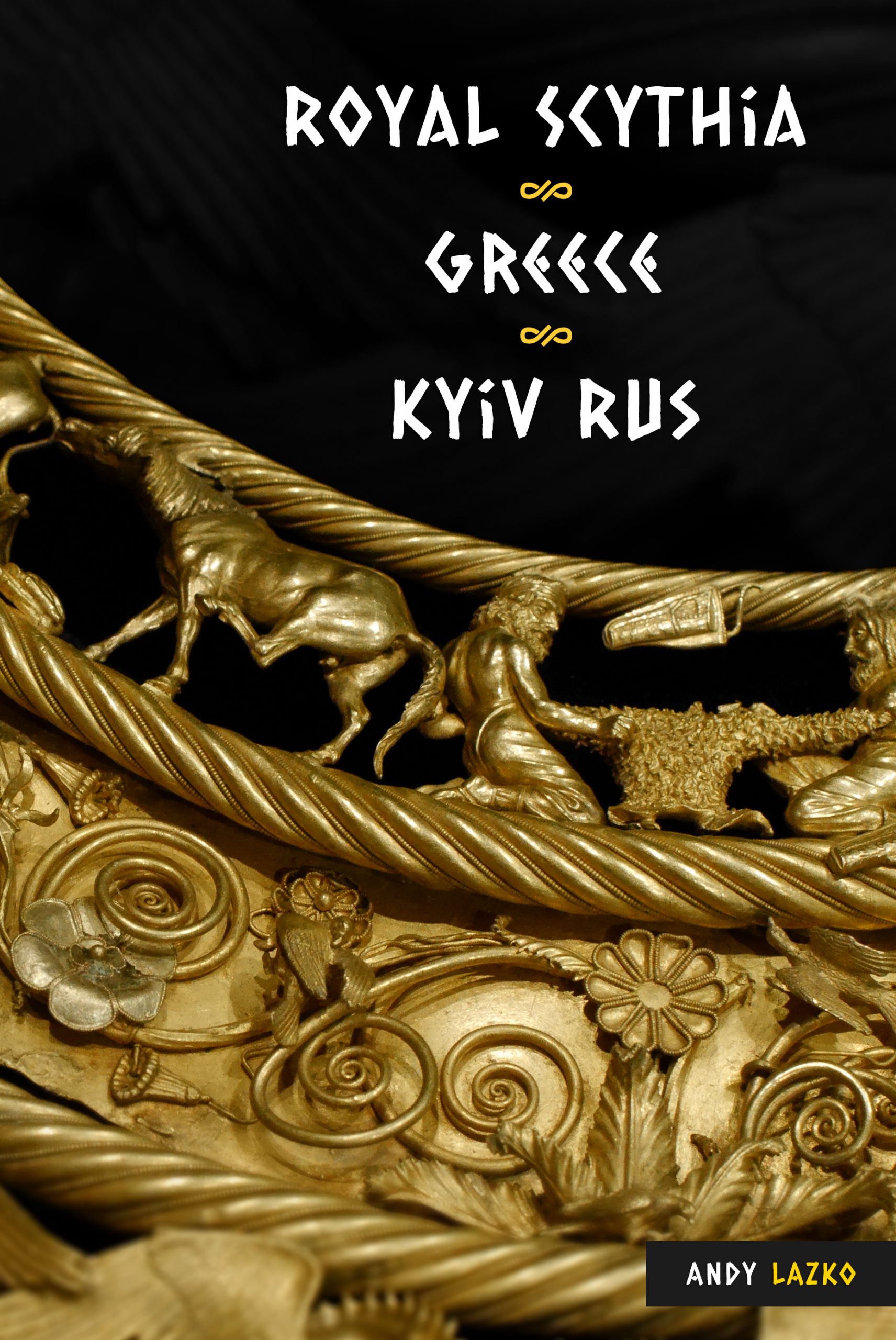
The book ‘Royal Scythia, Greece, Kyiv Rus’ has more insights into what events were taking place in Scythia in those times.