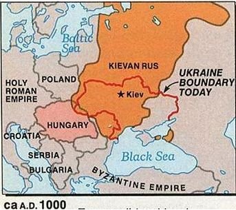
Although this map was published by National Geographic in 1987 and should be commended for marking what is now the present-day Kerch Strait as being controlled by Kyiv a millennium ago, it still misses one important area. In the map below you see the Khazarian Kingdom.
“Between 965 and 969, the Kyiv Rus’ ruler, Sviatoslav I ‘the Brave’ of Kyiv, as well as his allies, conquered the capital of the Khazars, Atil, and ended Khazaria’s independence. The state became the autonomous entity of Rus”. Professor of History Dr. C. Raffensperger in Introduction to his recently published book ‘Kingdom of Rus’ wrote: “Examining a wide range of medieval sources, the facts expose the common practice in scholarship of referring to Rusian (with the single “s”) rulers as princes as a relic of early modern attempts to diminish the Rus‘. Not only was Rus part and parcel of medieval Europe, but in the eleventh and twelfth centuries, Rus was the largest kingdom in Christendom… Neither formulation, however, takes into account the historical realities of their respective geographical positions, for instance, the fact that Yaroslav [the Wise] ruled a kingdom that stretched from the Baltic Sea in the north to the Black Sea in the south and from the Western Dvina river to the upper reaches of the Volga and lower Don rivers in the east, while Henry [Henry I of France] actively controlled the Île de France and little more even in the mid-eleventh century. This characterization is not meant to aggrandize Rus or diminish France, but simply to show the relative positions in the actual medieval world of the eleventh century and in the minds of modern scholars looking at the eleventh century…”
[Yaroslav the Wise’s daughter Anne of Kyiv became Queen of France btw >]
Khazarian Kingdom was destroyed by Sviatoslav the Brave of Kyiv in 965 AD:

Thus, at around 1000 AD, Kyiv Rus stretched to the Caspian Sea. This information is of vital importance to counter the Kremlin’s claims that those lands were “theirs”. Historically, Moscow would not exist for another 200 years. Russia is an imposter trying to steal what is not and has never belonged to it. Ukrainian Ministry of Foreign Affairs pointed out another little-known fact about the Western borders of Kyiv Rus state – the Baltic states, Slovakia, and part of Poland were also part of the realm controlled by Kyiv:

Better see it on Twitter because it has a nice GIF in it.
There is only one clear beneficiary of an effort to diminish Kyiv Rus as Dr. Raffensperger observed – the country to the north of Kyiv:
Future Muscovy-Russia was only the most backward province of Rus Kingdom >
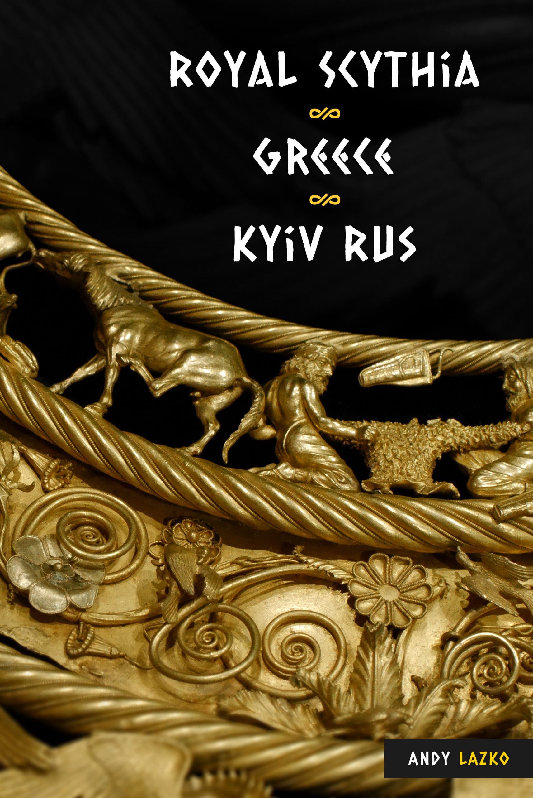
More details about little-known facts of Kyiv’s history are in the “Gardariki, Ukraine” e-book. Those looking for details of the Baltic states being part of Kyiv Rus, have to check “Kyiv Rus in Heimskringla and Byzantine Texts” paperback.